Archaeology
Everywhere we look, the landscape is changing
Turn on the news and see the loss of yet another iconic world heritage site, lost to terrorists, war or ever-increasing extreme environmental events. The loss of parts of the Notre-Dame in Paris, the destruction of beautiful historical areas in Yemen, the levelling of Palmyra. The list goes on, but what can anyone do about this huge cultural loss and how can we stop it happening again?
Capture reality
Quite simply, we cannot judge when these things are going to happen, but we can rebuild, if only we had a detailed plan to follow. This plan is where 3D Terrestrial LiDAR scanning comes into its own. Scanning is how historians and archaeologists can preserve that which is precious to us and the generations who follow.
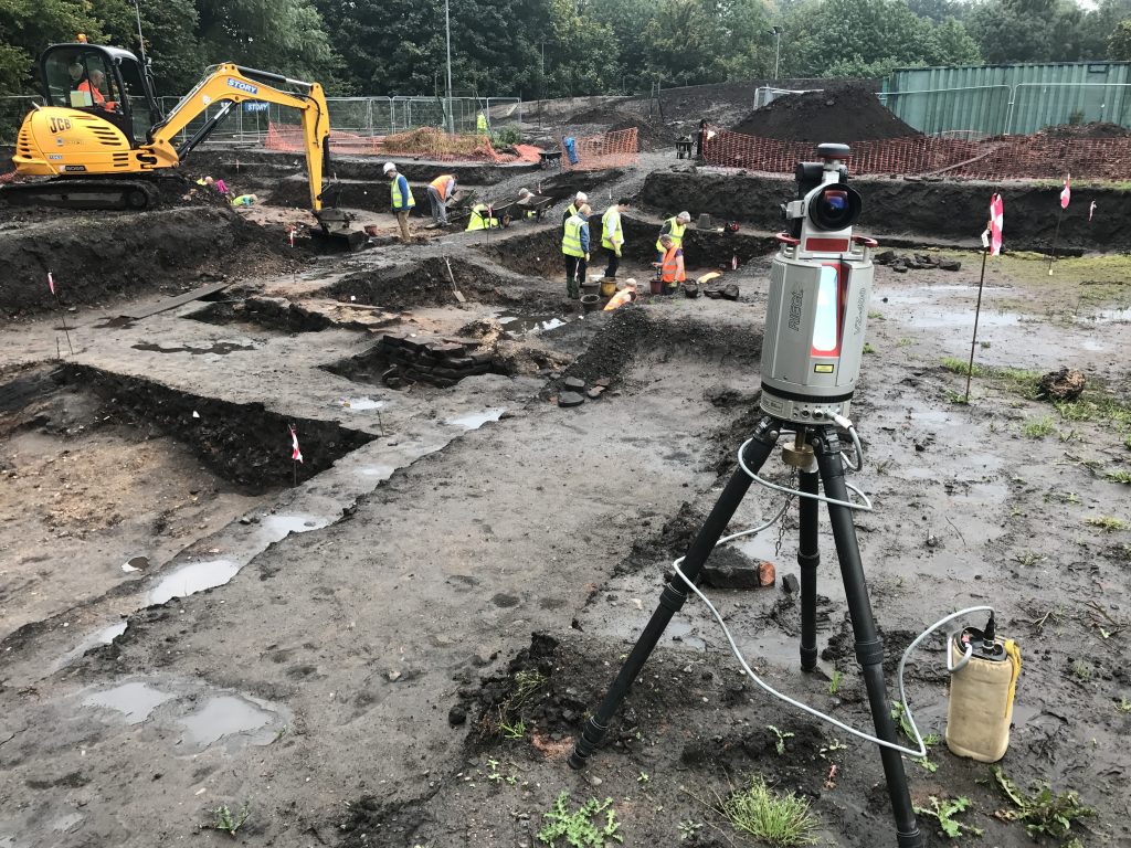
Preservation
3D scans are now commonly used in cultural preservation projects to capture exacting details. Our 3D data of your buildings, digs and artefacts allows you to study, map and restore all that is precious. Only 3D laser scanning can give you the accuracy you demand and keeps a perfect record of your sites, artefacts, and digs.
Accuracy and precision
Our drone and terrestrial photogrammetry services help to quickly and accurately turn physical objects, buildings and terrain into digital data for future studies.
Application
There are many digital outputs available from the actual 3D scan, which include:
- Restoration
- Study
- The use of 3D models for inspection
- Preserving cultural heritage
- Understanding sites, measurements
- Recording setting using aerial video and photography
- Digital Terrain Models, Digital Surface Models and Digital Elevation Models.
Delivery
Digital scans are delivered to you in your chosen file format: STL, OBJ, FBX, 3DS, IGES, Collada, and more. Because 3D files occasionally have the ability to be stubborn when importing, we help you to get those files opened and working perfectly on your software suite.