
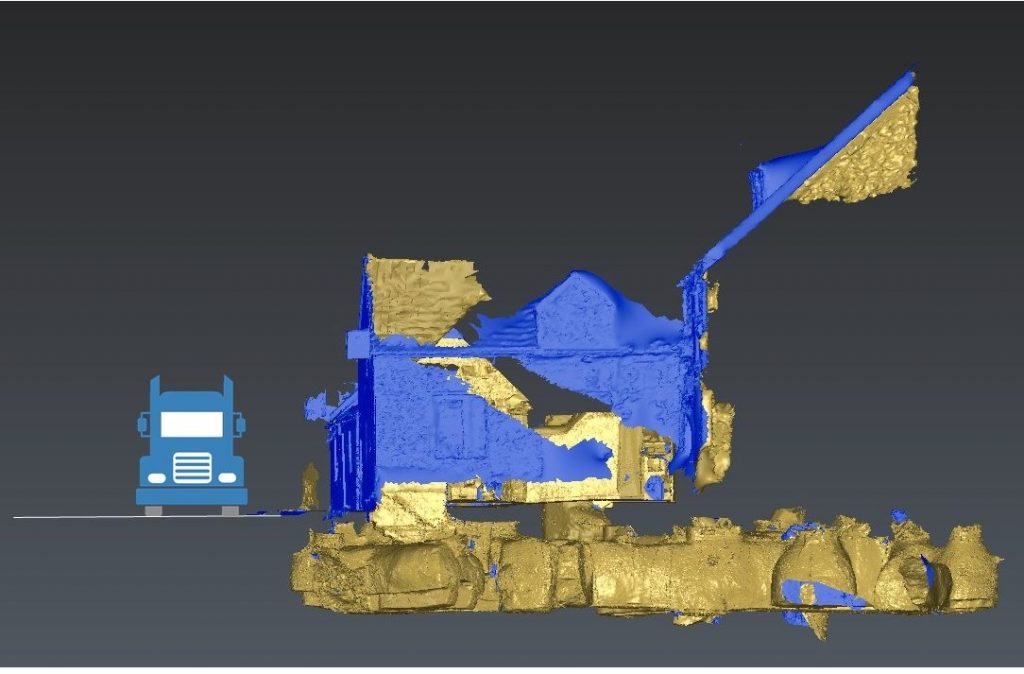
3D Data Processing
Data means nothing unless it is processed accurately to create 3D models which we can rely upon to make decisions.
Choose your output
Commendium excels at extracting data from LiDAR, Photogrammetric, and aerial surveys. You can choose from a huge array of deliverables, from flythroughs to maps and 3D models, movies & aminated graphics, or 3D data files that can be distributed via the web.
Perfect data for a range of Industries
Our 3D data is used in a wide range of industries and workflows which include civil engineering, 3D models, geographical surveys, BIM models and much more. We ensure your projects and 3D assets are accurate and presented in the format you require, which keeps your production pipeline running smoothly. Using industry-standard tools we have used gathered 3D data to provide the following:
- Calculate volume, area and displacement metrics
- Calculate quantities for building works
- Assess and digitise geological and topographical features
- Create visual impact assessments
- Calculate species populations
- Assess clearance and tolerances in pipework and industrial plants.
Need advice?
If you would like to know how your requirements can be met and how we can work together please give Roo Walters and his team a call on 0330 119 0000 or fill in the form below.